


4.8 / 5
How satisfied were you with the behaviour and cooperation of the staff?

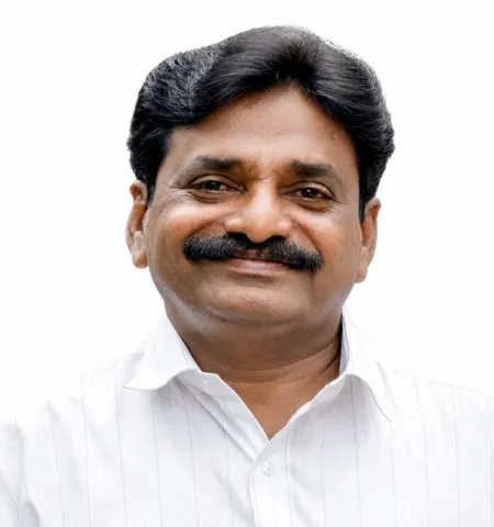
President

Vice President & Chairman Standing Committee for finance

Chairman, Standing Committee for development
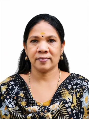
Chairman,Standing Committee for Welfare
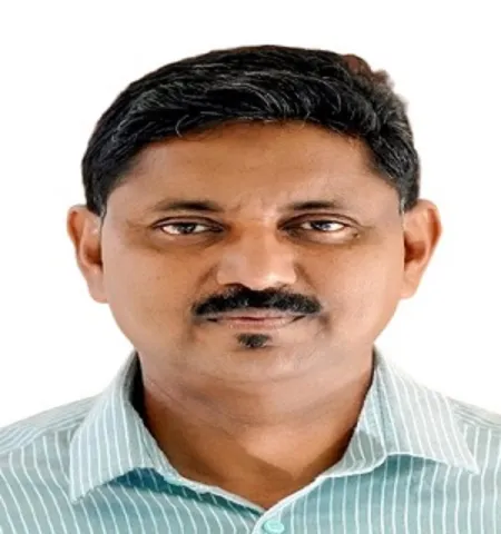
Chairman,Standing Committee for Health and Education

Secretary, Grama Panchayat

Location: Eranad Taluk, Malappuram District, Kerala
Wards: 24; Assembly Constituency: Manjeri; Lok Sabha Constituency: Malappuram
Villages: Karakunnu, Trikkalangode, Elankur
Total Population (2011): 52,090
Area: 59.9 sq. km

Download Now



Thrikkalangode Grama Panchayat is situated in the Wandoor Block of Eranad Taluk in Malappuram district. Spanning the villages of Thrikkalangode, Karakunnu, and Elankur, the panchayat covers an area of 59.99 square kilometers. Its boundaries are defined by Kavanur, Edavanna, and Thiruvali panchayats to the north; Porur, Pandikkad, and Thiruvali panchayats to the east; Manjeri Municipality and Pandikkad Panchayat to the south; and Pulpatta and Kavanur panchayats along with Manjeri Municipality to the west. The histories behind the place names of the three constituent villages—Elankur, Thrikkalangode, and Karakunnu—reflect the region's unique cultural characteristics. Among these, Thrikkalangode—the village that gave the panchayat its name—is also a hub of three renowned temples. Opinions differ regarding the...
Read More
In connection with 'Operation Toofan 2.0', President N.P. Muhammed flagged off the initiative from the Thrikkalangode Grama Panchayat office on the morning of September 28, 2026. The event featured a foot march to Karakunnu Junction, followed by the administration of a pledge and a street play...
Read More